
Case study
Enabling surface water separation
A GIS platform for a UK utilities contractor delivering surface water separation surveys across a wastewater network — every address and street in one system, providing auditable data provenance from work inception, through delivery, to regulatory reporting.
The challenge
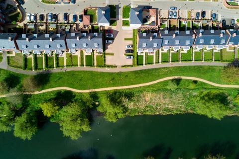
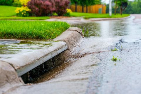
Separating surface water drainage from combined sewers relieves pressure on the wastewater network and reduces storm overflow spills — a common performance commitment in Ofwat’s 2025–2030 price review, with outcome delivery incentives attached. Delivering it means surveying property after property, street after street, and the survey record has to be trustworthy. Historically that information sat across spreadsheets, drawings and a corporate GIS with limited seats: the office could not see what the field had done, provenance was unclear, quality varied, and teams could find themselves surveying the same address twice.
Our approach
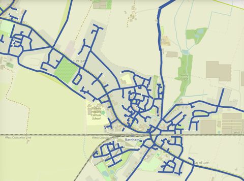
We built a web platform that holds every postal address and unique street reference in the operating area. Coordinators assemble schemes — collections of properties and streets — and allocate them to survey teams through the contractor’s works management system. Surveyors complete their work in a field GIS, and the results flow straight back to the platform, visible against the addresses they belong to.
One system carries the work from inception through delivery to regulatory reporting. Every survey has a single, traceable record, so whether an address has been surveyed, by whom and what they found is always visible.
RGA hosts the platform, and it is designed around the people who use it — coordinators assembling schemes, surveyors in the field, and the organisations working alongside them. Because the infrastructure sits with us, it acts as neutral ground: multiple organisations contribute data securely into one shared, auditable picture. For water companies working through a diverse supply chain, that aggregation point is where the value lies — results from many contributors arrive in one consistent form, with provenance attached.

Outcomes
- Every postal address and street reference in the operating area held in one system
- Schemes assembled from addresses and streets, allocated and tracked through to completion
- Survey results visible against each property as field work completes
- A single traceable record for every survey, with clear provenance
- Regulatory reporting drawn from the same data that ran the delivery
- Hosted by RGA, with multiple organisations contributing data securely to one shared picture
Facing something similar?
Get in touch to talk about your project.